Overview
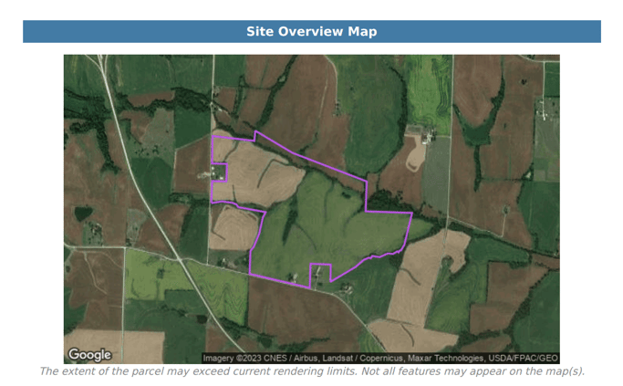
The location or site overview map is a visual representation that shows the boundary of your location or site. This map offers a clear outline of your location, making it easy for you to show the basic layout on the cover page of your PDF report. You have the flexibility to customize the map type and zoom scale to effectively display your site or location for your project's purpose.
Show Overview Map
Below is an example of the Location Overview Map that will be visible within the report:

Map Type
Using the map type drop down, select which kind of base map you want for the location Overview Map. Options include hybrid, roadmap, satellite and terrain.Scale
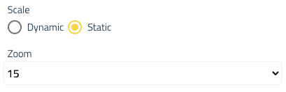
There are two options for the scale of the map. Dynamic scale will allow Pivvot to give a scale that fits the parcel that is being reported on. Static scale will allow the user to set a default scale for each parcel report that is created. Once Static scale is selected, choose a zoom level from the Zoom dropdown.
Use the following reference for the zoom scale.
| Reference Scale | Static Value |
| Metropolitan Area | 10 |
| City | 11 |
| Town | 12 |
| Village or Suburb | 13 |
| ... | 14 |
| ... | 15 |
| Street | 16 |
| Block | 17 |
| ... | 18 |
| Street intersection | 19 |
| Building | 20 |
Siting: Include Usable Area and Site Sketch
In Siting PDF reports, you can configure whether your location overview image should include the usable area and site sketch polygons.
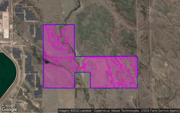
- Show Usable Area
- By default, usable area will be included in the Parcel Report. To remove the usable area in the Pivvot Parcel Report, toggle the "Show usable area" option off.

- By default, usable area will be included in the Parcel Report. To remove the usable area in the Pivvot Parcel Report, toggle the "Show usable area" option off.
- Show Site Sketch
- To include any Site Sketches associated with parcel, toggle the "Show site sketch" option on.

- To learn more about Site Sketch, visit the Site Sketch article.
- To include any Site Sketches associated with parcel, toggle the "Show site sketch" option on.
Next, configure the Report Content.