Using Pivvot Layers
Pivvot Map Layers are dynamic visual data overlays sourced from a variety of datasets, enabling streamlined and insightful analysis of map locations and areas of interest.
Pivvot layers are curated visual data overlays available across all Pivvot applications. These layers are sourced from a variety of data providers, including public datasets, subscription-based sources, and specialized enhanced data sources. As map layers, they offer a streamlined and accessible way to analyze map locations, sites, and areas of interest.
Pivvot layers are versatile and provide value not only in the initial stages of your project within the Pivvot ecosystem but also throughout your endeavor. They empower you to make informed decisions and gain insights into geographical data, enhancing your efficiency within Pivvot.
Each dataset is defined in the Pivvot Data Dictionary, accessible after signing in. In the data dictionary, you will find comprehensive information about each layer, including its definition, data source details, geometry type, data significance, subtypes contained in the layer, and a map legend example.
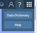
To access the Pivvot Layer list:
- Open an application (Aware, Route, Siting)
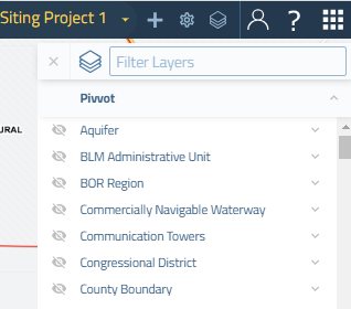
- Click the Layer icon
 at the top right of the map to open the Pivvot Layer flyout.
*Note that Siting, Aware, and Route have different options in the layer flyout in addition to the Pivvot layers.
To find a specific layer:
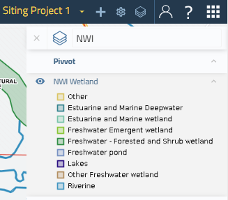
1. Type in the name or part of the name in the Filter Layers field
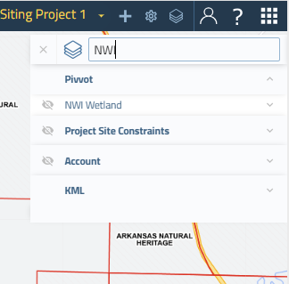 *
*
To toggle the layer display on or off:
- Click the eye icon to the left of the layer name.
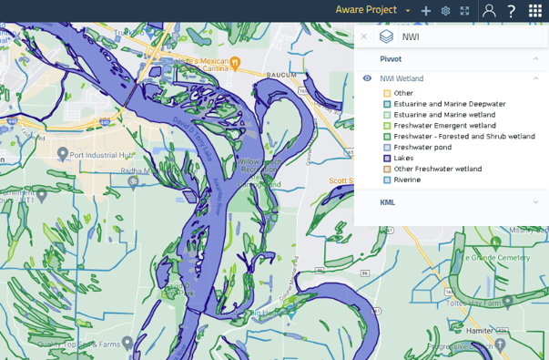
To view the Layer's legend:
- Click the dropdown arrow to the right of the layer name, or select on the layer name.
Note: Layer names displayed in gray text indicate that the layer features are not fully visible at the current zoom scale. When you reach the desired zoom level by either zooming in or out, the text will change to blue, at which point you can view enabled layers.